|
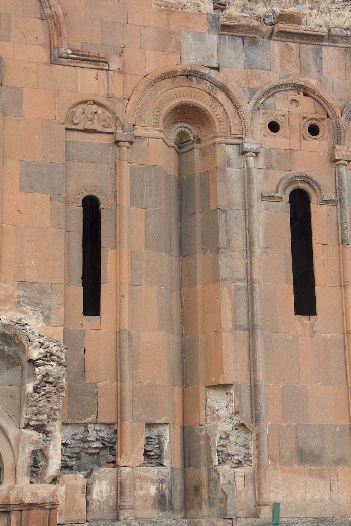 |
| 15-Armenian Cathedral | |
| Latitude: N 40°30'22,34" | Longitude: E 43°34'22,67" | Altitude: 1485 metres | Location: Kharkov | Country: Armenia | Copyright: Ron Harkink | See map | |
| Total images: 31 | Help | |
|
|
|
| 15-Armenian Cathedral | |
| Latitude: N 40°30'22,34" | Longitude: E 43°34'22,67" | Altitude: 1485 metres | Location: Kharkov | Country: Armenia | Copyright: Ron Harkink | See map | |
| Total images: 31 | Help | |